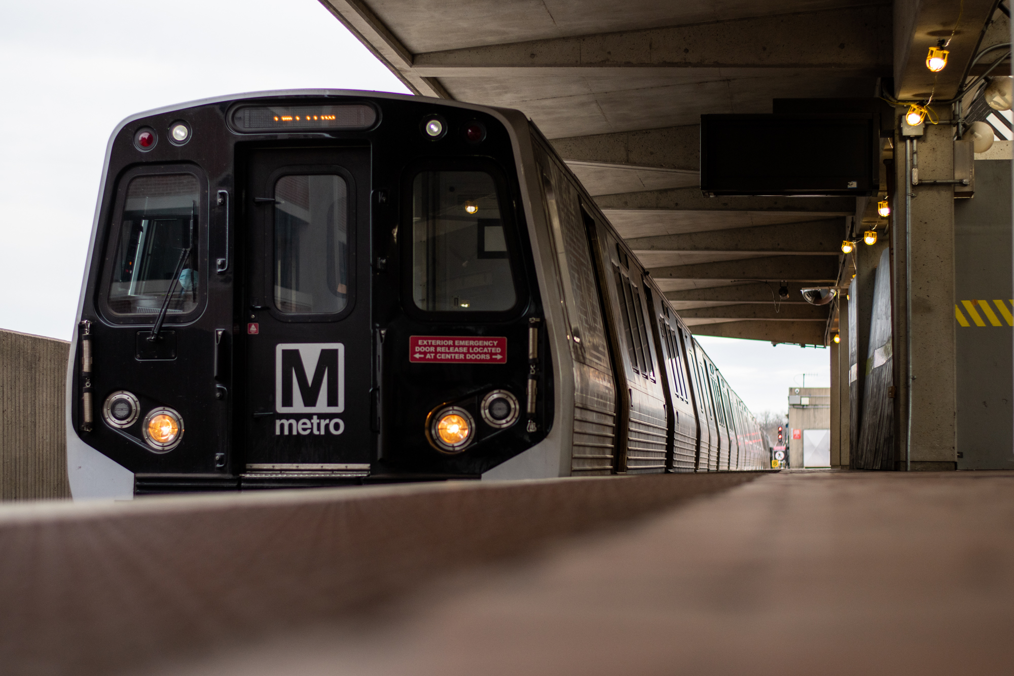
In preparation for the opening of six new Silver Line stops, the Washington Metropolitan Area Transit Authority announced a new Washington metrorail map Friday.
The updated map displays stations on the Silver Line extension to Ashburn, which will link the system to Washington Dulles International Airport and Loudoun County, according to a WMATA news release. The route’s extension includes new stops at Reston Town Center, Herndon, Innovation Center, Dulles Airport, Loudoun Gateway and Ashburn stations.
The release said WMATA is in the “final stages” of preparation for the Silver Line extension, with simulated service to begin next month.
[$20.5M federal grant for New Carrollton transit hub paves way for growth]
The new Metro map will also include the future Potomac Yard station and the newly renamed North Bethesda (White Flint), Tysons (Tysons Corner), Hyattsville Crossing (Prince George’s Plaza), Downtown Largo (Largo Town Center) and West Falls Church-VT (West Falls Church-VT/UVA) stations.
With more than 5,000 maps in stations and trains alone, Metro is getting a head start on the map replacement process, which will take more than a month, WMATA said.
Maps of various sizes, fare tables and customer brochures are all being updated with the new station names and line extensions. All digital maps, as well as WMATA’s website, will be updated upon the opening of the Silver Line extension.
Metro management will set a date for service to begin when safety certification has been obtained.