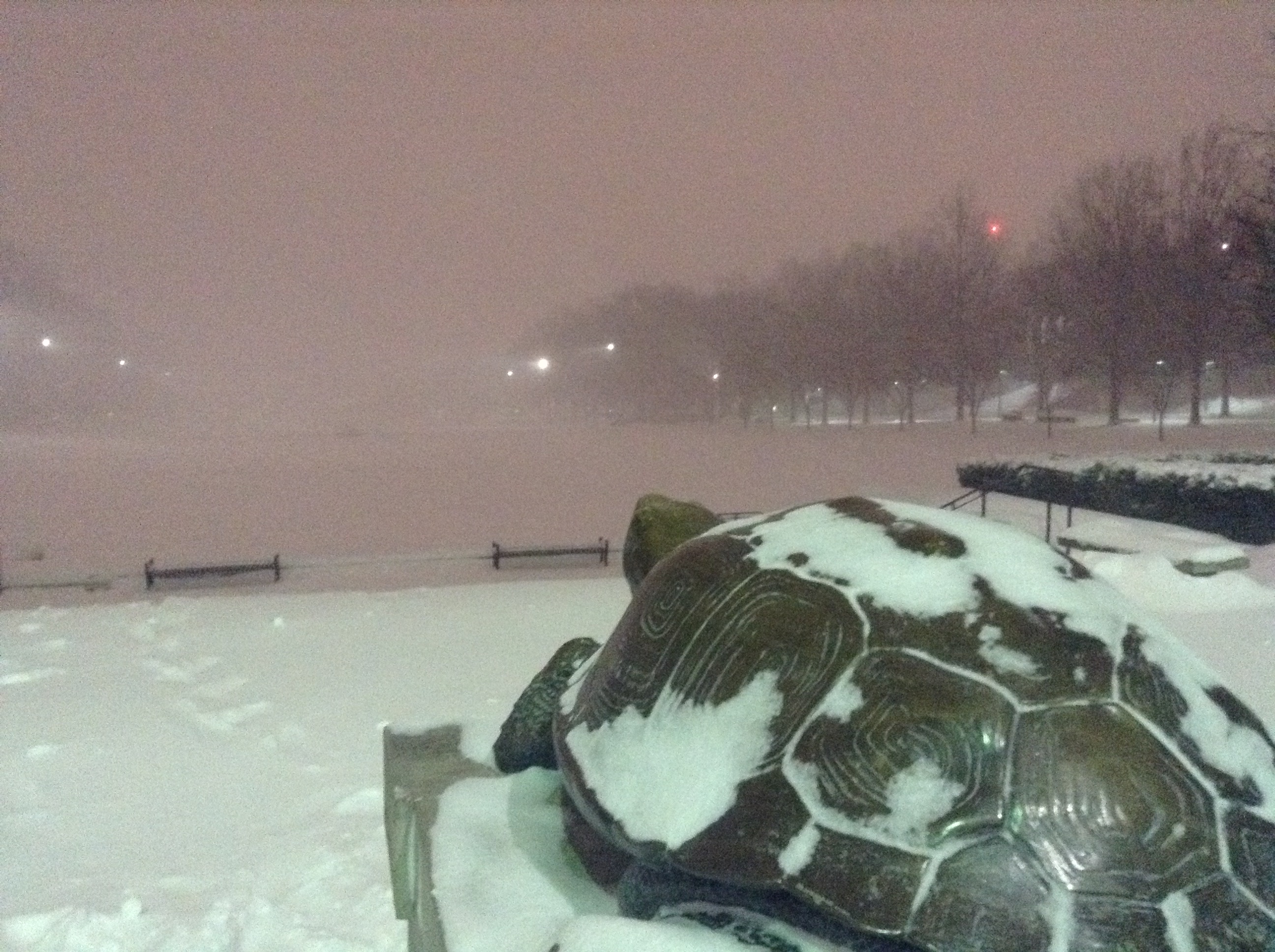
The University of Maryland could be getting a snow day a little later than usual this year, as the National Weather Service has issued a winter storm warning that begins Monday at 7 p.m. and ends Tuesday at 2 p.m.
The storm could drop more than five inches of snow in less than 12 hours — including possible sleet or ice accumulation — causing difficult travel conditions and possibly causing power outages due to heavy snow on tree limbs and power lines, according to a statement from the National Weather Service. Wind gusts from the storm could also range from 10 to 20 mph, according to the statement.
The snow in the area this year has paled in comparison to recent years. The Baltimore area saw .7 inches of snow this winter, which ties a record for least amount of snow set nearly seven decades ago, according to The Baltimore Sun.
[Read More: Record breaking snowstorm calls for hefty snow removal efforts]
If this university decides to close the campus, it would be the first snow day of the semester. Last year’s Winter Storm Jonas dropped about 19 inches of snow on College Park in late January, causing the spring 2016 semester’s classes to begin two days later than planned. The Department of Resident Life pushed move-in one day earlier to accommodate move-in before the storm hit.
Forecasted temperatures in the lower 30s during this week’s possible storm starkly contrast last week’s temperatures, which crept into the 70s and gave students a glimpse of an early spring. The sudden shift in temperatures could prevent the local cherry blossoms from reaching full peak, according to The Washington Post, but the Cherry Blossom Festival is still expected to start on March 15. Up to 90 percent of the plants might not reach full bloom.
In the case of a snow day, check dbknews.com for school and city-related closings.


