
A Facilities Management website will announce Monday the new street addresses for campus buildings as part of an initiative to ease navigation in emergencies.
In the past, university addresses consisted only of building names, but the new system will identify each building by its street and a numerical address in an effort to minimize confusion and help people navigate the campus, especially in emergencies, Facilities Management officials said.
“For many years, there have been needs to have addresses for our facilities for emergency vehicles and for people getting around campus,” said Brenda Testa, director of the Department of Facilities Planning and chairwoman of the Geographical Information Systems steering committee.
This development “puts us on the same page with the county and the state” in terms of the emergency response process, she said.
The addition of street addresses will not only standardize the emergency response process, but also enhance its efficiency in responding to calls in a timely manner, University Police Maj. Marc Limansky said.
“From our department standpoint and from the fire department’s, this will make it easy for our responders to get to locations on campus,” Limansky said.
He said University Police has faced situations in which its station is occupied and responders from other stations are called in. In the past, these responders, who were often unfamiliar with the campus, would need careful directions, which costs time.
“This changes the whole thing,” Limansky said. “If we have a situation and we want Prince George’s County to respond, or any police officer who never came to campus or any negotiator or special service agent, the responding unit will know exactly where to go, and we won’t have to worry about giving directions anymore.”
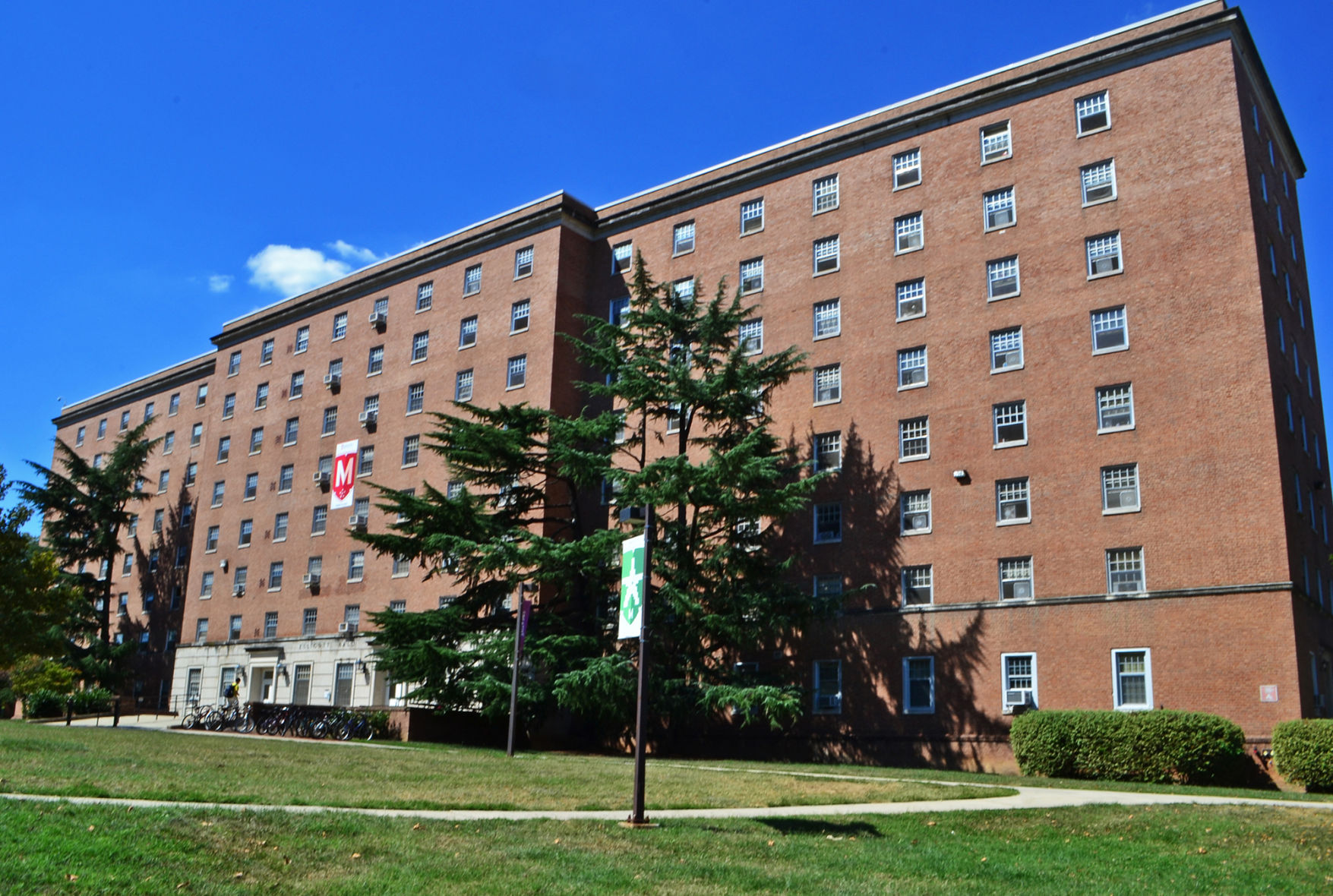
The lack of numeric addresses did pose a challenge at times in providing directions to newcomers on the campus, said Paige Chan, a junior bioengineering major and former staff member of the Ellicott Hall desk.
“When I was moving kids in last year, a parent called the desk and asked me for directions,” Chan said. “I couldn’t really give directions, though, because when I asked her what she was near, she couldn’t tell me.”
Though the initiative will also aid new students, visitors and parents navigate the campus better, the street addresses were designed specifically to improve public safety, Testa said.
“We know it’ll be a great enhancement to the [emergency responders’] capabilities,” she said.
After years of preparation, Facilities Management launched a virtual map Monday listing every building on the campus and its corresponding address to help with emergency response, the project’s directors said. By 2016, people will be able to use third-party systems, like MapQuest, to navigate the campus, university spokesman Graham Binder wrote in an email.
The new site allows viewers to click on any building on a campuswide map and see its corresponding number, Testa said. She said the website will contain other information as well, including frequently asked questions to help mitigate confusion.
The addressing initiative began as a byproduct of an enterprise information systems project that began in September 2012, said Mary Kate Bland, mapping manager of the facilities planning department. Uniting the resources of several university departments, the venture led to the creation of the campus Web map in October 2013.
“Using all our current technologies and mapping capabilities, we synced up with the campus at large,” Bland said. “The addressing initiative was born out of that [project].”
Testa said the addressing initiative was a collaboration between the geographic information system department’s staff, the Prince George’s County government and University Police and will enable “all kinds of capabilities” on the campus.
CORRECTION: Due to a reporting error, a previous version of this story listed Mary Kate Bland as manager of the facilities planning department. She is mapping manager. The article has been updated.